

District Services
This section is currently under construction, however, please reach out if a service is not listed.
Landowners
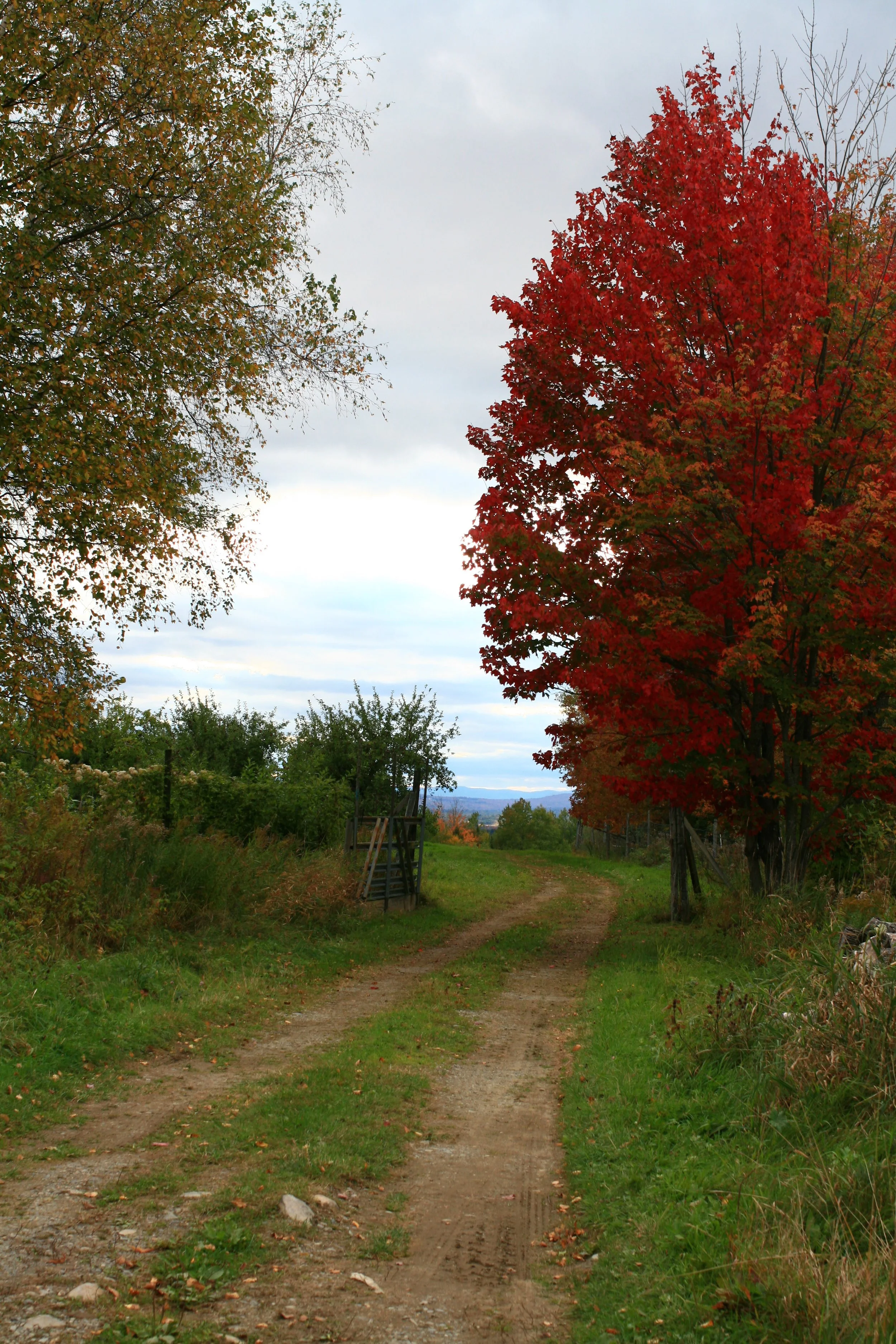
Recommendations/information on erosion problems, buffer planting, road maintenance, shoreline stabilization, or other water related resource issues.
Assist interested individuals in forming a road or a lake association.
Identify information, groups, and/or financial assistance relevant to individual’s needs.

Road Associations
Recommendations regarding the design and maintenance of private ways.
Assist association with development of a long-range maintenance plan.
Identify information, groups, and/or financial assistance relevant to association’s needs.
Municipalities
Information/assistance concerning road related erosion problems.
Assist municipal officials in development of water resource related ordinances.
Maps/aerial photos delineating features such as watershed and municipal boundaries.

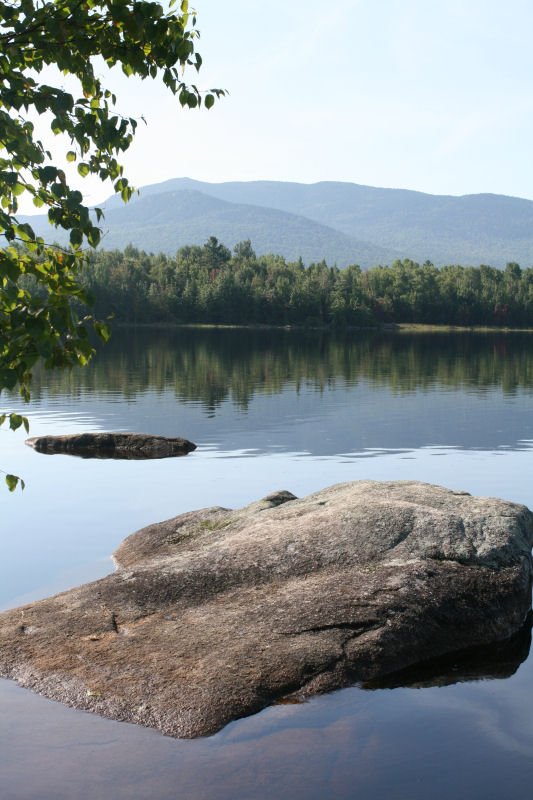
Lake Associations
Maps/aerial photos delineating features such as watershed and municipal boundaries.
Coordinate and/or speak at informative workshops covering such issues as: planting buffers, private road maintenance, NPS pollution and water quality, and shoreline stabilization.
Assist in the development of watershed survey’s.
Other Conservation Groups/Organizations
Design conservation practices that solve erosion problems.
Coordinate and/or speak at informative workshops covering such issues as: planting buffers, private road maintenance, NPS pollution and water quality, and shoreline stabilization.
Provide watershed characteristic data for use in assessment reports.
Technical Assistance Fees
The Kennebec District currently charges a $65 flat fee for technical assistance (TA), and $75/hr for GIS.
Esri GIS services such as integrations with Field Maps, Survey123, StoryMaps, or Dashboards are available. For compliance reasons, these would be available through your Esri license using an existing account, or one setup for this purpose.
Please contact us for questions about our services.